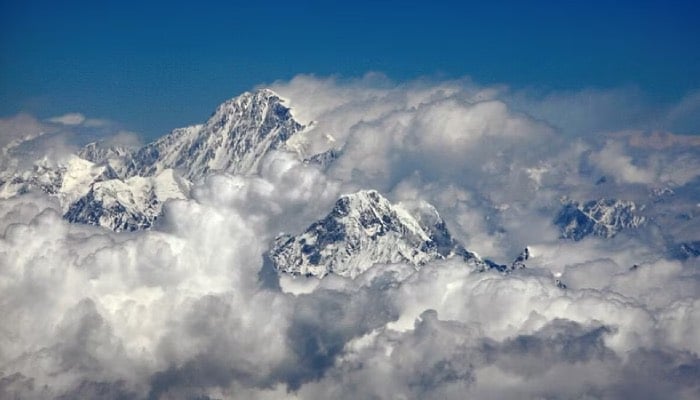
Mount Everest is currently 15 to 50 meters taller than it would typically be due to erosion from a river at its base, which helps push it upward.
Researchers at University College London (UCL) found that land loss in the Arun river basin, located 75 kilometers away, causes the world's highest peak to rise by up to 2 millimeters annually.
The Himalayas were formed by the collision of the Indian and Eurasian tectonic plates around 40 to 50 million years ago, and this ongoing process continues to elevate the mountains.
However, the UCL team noted that the Arun river system contributes to this upward movement.
As the Arun flows through the Himalayas, it removes material from the Earth’s crust.
This loss of weight reduces pressure on the mantle beneath the crust, allowing the thinner crust to flex and rise. This process is known as isostatic rebound.
Everest sits on the border between China and Nepal, with its northern side in China.
The Arun river flows from Tibet into Nepal and then merges with two other rivers to form the Kosi, which eventually meets the Ganges in northern India.