The first heatwave of this summer has hit the eastern United States as on Sunday, June 22 many places recorded their hottest temperature of the year so far.
These hottest temperatures are expected to get even more hotter on Monday and Tuesday.
A high-pressure system over the eastern US is pulling hot air up from the southern areas, creating what is called a heat dome (where hot air gets trapped and makes temperatures rise), as per The Guardian.
This heat dome first appeared in central parts of the country on Friday and then moved eastward over the weekend.
On Saturday, June 21, the temperature rose sharply and at Huron Regional Airport in South Dakota, it reached 39.4C which is 13C hotter than the normal temperature for June in that area.
Meanwhile, in St Paul, Minnesota, the night was very hot on Saturday with the lowest temperature being 27.8C, which was just a little cooler than the city’s hottest night-time temperature for June, recorded in 1999.
The heat then moved further east on Sunday, June 23, with temperature rising to around 35C in many places across the plains, Midwest, mid Atlantic and northern eastern US.
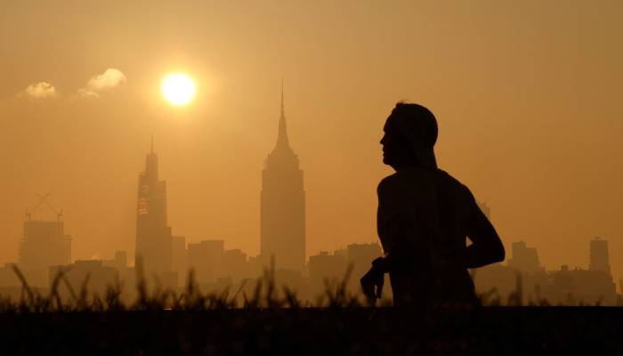
New York and Washington DC brace for record-breaking heat:
As per the outlet, in New York City, temperatures are expected to reach 36C on Monday and Tuesday which would set new daily records.
While, in Washington DC, it could hit 38C, which would either match or break the previous records for those days.
Altogether around 250 daily temperature records might be broken on Monday and Tuesday which could include both the highest daytime temperatures and the warmest night-time temperature ever recorded on these dates.