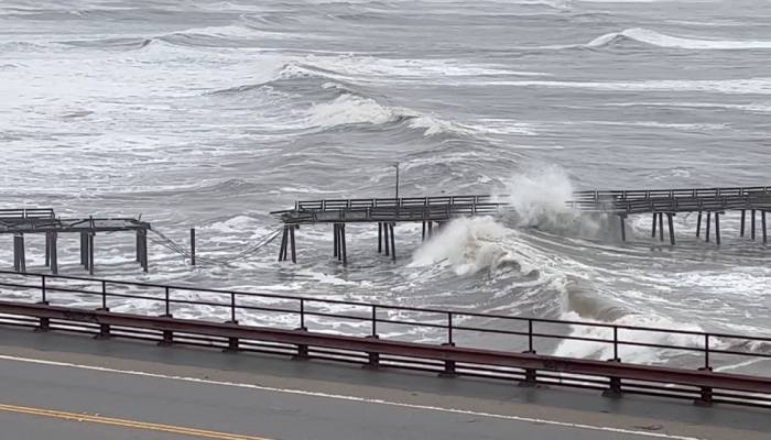
A strong bomb cyclone is soon expected to hit Northern California that may trigger torrential, flooding rainfall across the region and parts of the Pacific Northwest.
On Friday, November 22, 2024, CNN reported that as per Weather Prediction Center, a rare level 4 of 4 high risk of flooding rainfall is expected to hit the Northern California as the atmospheric river is directing an intense moisture stream towards the coast.
As per the issued alert from the center on Thursday, “Life-threatening flooding across coastal areas of northwest California is expected due to the very strong and long duration atmospheric river currently impacting the region. Dangerous flooding and debris flows are likely which will include rock and landslide activity.”
The region could witness extensive rainfall that may range from 3 to 5 inches, while some areas are expected to receive over 8 inches, and has the potential to reach historic 16 inches or more by Thursday, if combined with Wednesday’s rainfall.
It was also reported that in northern Sierra Nevada and Oregon Cascades, mountain snowfall will continue and will likely deliver about 1 to 2 feet of snow.
Cal Fire also issued some safety measurements for the public that asked, “Remember to slow down and drive cautiously in these hazardous conditions. Ensure your windshield wiper blades are in good condition, use your headlights for better visibility, and increase the distance between your vehicle and others on the road.”
As per the National Oceanic and Atmospheric Administration (NOAA) data, over a foot of rain has already fallen from Tuesday to Thursday morning in some parts of the Coastal Range, just north of the San Francisco Bay Area.


