The Met Office has issued a yellow thunderstorm warning for many years in England and Wales.
This warning affects most of southern England, parts of the Midlands and much of south Wales.
It starts at 9:00 AM BST on Saturday, June 7 and lasts until 6:00 PM, as per BBC.
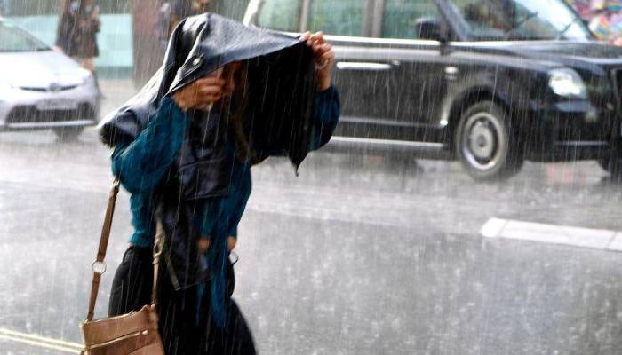
During this time, heavy rain is expected and bout 10 to 15 milimeters could fall in less than an hour with some areas might get 30 to 40 milimeters over several hours due to repeated storms.
"The UK's weather agency also warned that frequent lightning, hail and strong, gusty winds would be additional hazards," reported BBC.
The weather since June has become unsettled with more rain, wind and cooler temperatures than usual for early summer.
It was also the driest spring the country has ever seen in over 50 years, with only 128.2 mm of rain which is 40% less rain than usual, as per MailUK.
Additionally, this spring was also the sunniest ever recorded in the UK, with around 630 hours of sunshine between March and May.
Now as per the reports, some places might get more rain in just one day on Saturday than they did during the entire month of May.
Heavy rain may disrupt travel in southern UK:
Meanwhile, the weather agency warns that heavy rain may cause travel problems.
Driving may get difficult due to water spray and puddles, causing longer travel times while, train services might also face delays with short-term power cuts.
Other areas of the UK will also ave rain showers on Saturday but these will be lighter compared to the heavy rain expected in southern areas.