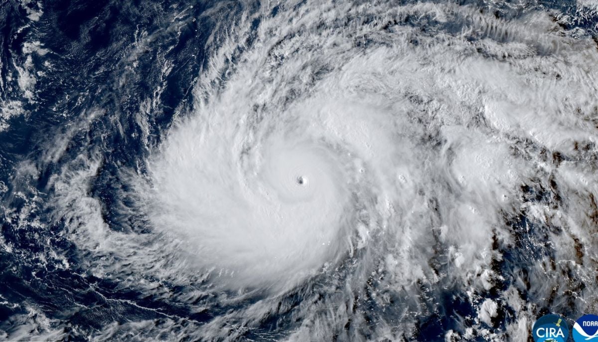
Super Typhoon Sinlaku has rapidly intensified into a monster storm reaching Category 5 status with maximum sustained winds of 285 km/h.
Scientists have noted its historic strength marking it as the second-strongest typhoon recorded so early in a calendar year.
The storm is currently moving west-northwest at 15 km/h and is centered east-southeast of Guam.
While the track has shifted slightly north reducing the direct threat to Guam, the National Weather Service warns that Tinian and Saipan could “potentially experience the strongest of Super Typhoon Sinlaku.”
Forecasters expect the storm to pass through the Mariana Islands on Tuesday afternoon. Meteorologists remain concerned about its destructive power.
AccuWeather International Meteorologist Tyler Roys warned that “Sinlaku will produce destructive winds and flooding rainfall likely leading to power outages and structural damage.”
Additionally, local authorities have raised emergency levels noting that “flash flooding could become a major issue on Guam” due to heavy rain on already saturated ground.
While the storm is not expected to hit the Philippines directly, it remains “serious threat” to the Marianas.
Residents in the path of the storm have been advised to seek shelter immediately as dangerous conditions peak.