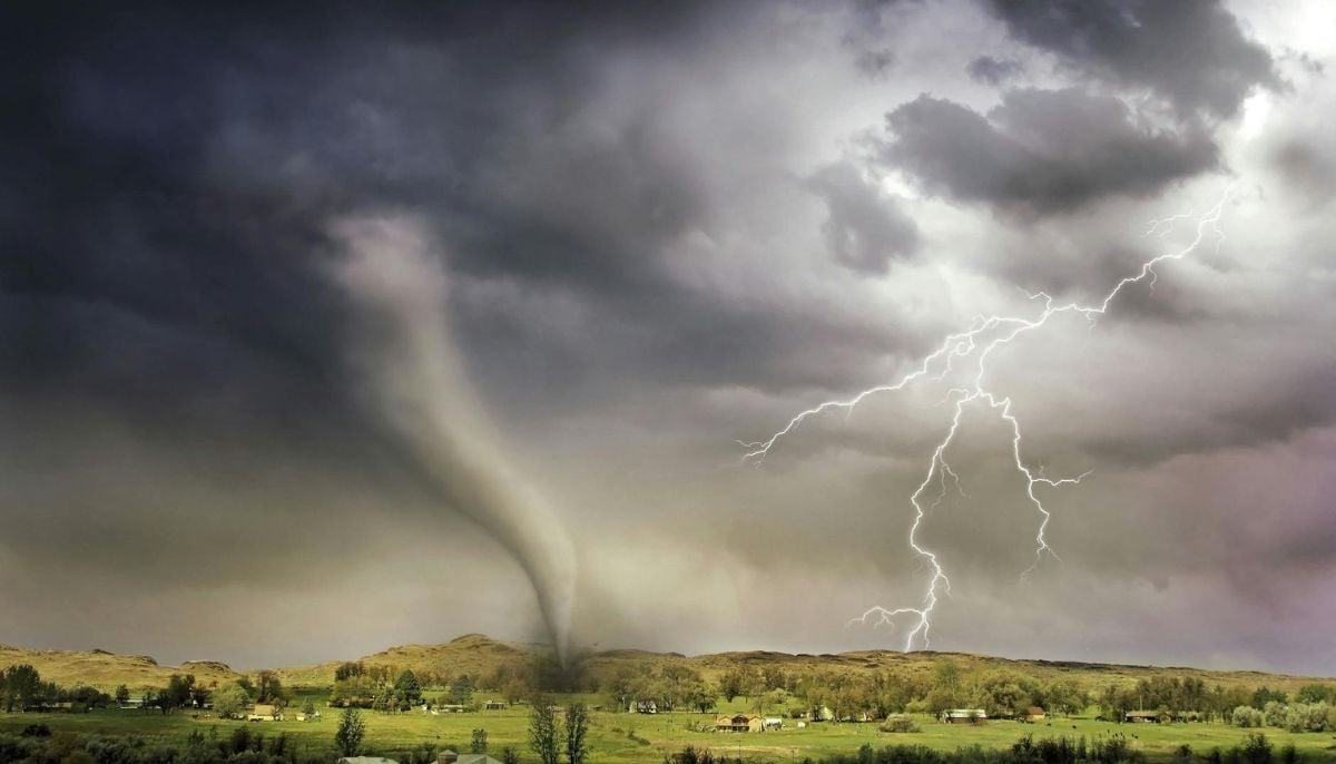
Southeastern Wisconsin is facing a volatile weather day as a low-pressure system brings the threat of tornadoes, high winds and flooding to the region.
After a night of 50-mph gusts, the National Weather Service has kept residents on high alert, noting that “the Storm Prediction Center noted tornado, hail and wind risks for Southeastern Wisconsin” in their outlooks.
In cities like Milwaukee and Madison, a messy mix of heavy fog and spiking temperatures near 74 degrees is setting the stage for afternoon storms.
Forecasters warn of “severe thunderstorms with possibly damaging hail, gusts past 50-mph and the potential for tornadoes” expected to develop by 3 p.m.
Meanwhile, a Flood Watch remains in effect for counties including Dodge and Washington, as repeated rounds of rain saturate the ground.
Local officials are urging families to use this Severe Weather Awareness Week to review safety plans.
The City of Madison warned that “heavy rain expected to move through the area Tuesday could have the potential to cause local urban flash flooding.”
Residents should monitor TMJ4 and FOX6 for live updates, especially with a statewide tornado drill scheduled for later this week.