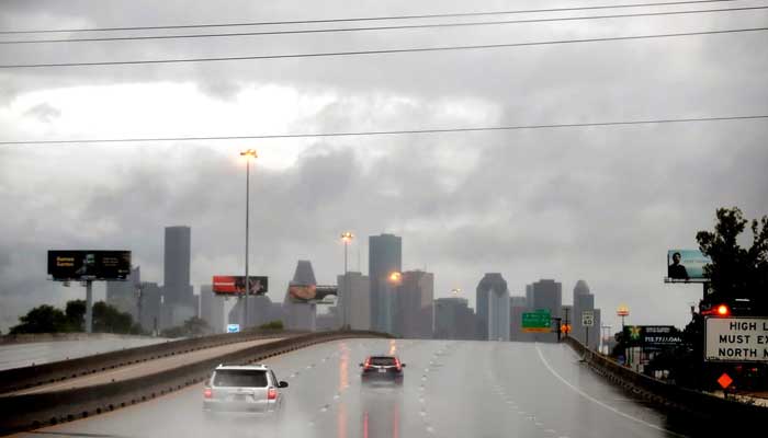
Residents across Houston are at a possible warning of flash flooding as torrential rain is likely to hit the area through the Memorial Day weekend.
The National Weather Service stated the highest flood risk is expected on Saturday, though storm activity could persist through Monday across Southeast Texas.
As per meteorologists, the repeated rounds of rainfall over the same areas may overwhelm drainage systems, triggering severe flood and possible minor river and bayou flooding.
As per forecasters, the ground is saturated after multiple days of rain that occurred earlier this week, significantly increasing the chances of flash flooding in low-lying and flood-prone areas.
Officials projected that several parts of the region could receive between four and six inches of rainfall by Monday.
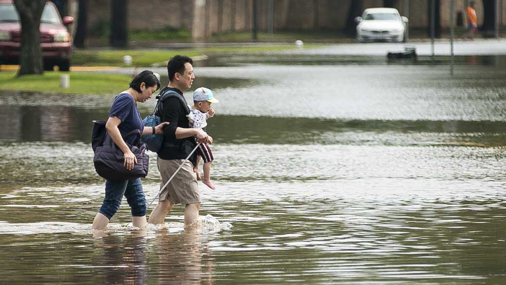
Weather experts are closely monitoring the situation, as localized downpours could aggravate the flooding conditions.
Space City Weather has placed the flood threat at Stage 2 out of 5, indicating that some roads and highways may briefly become impassable, as per the NWS Houston meteorologist Andy McNeel tells Axios.
Despite the forecast of heavy rain, long-term projections still suggest that much of Texas will only receive below-average rainfall during the summer months.
Authorities have urged residents to stay updated on weather alerts, avoid flooded roads, and keep yourself prepared for sudden changes in conditions during the busy travel weekend.