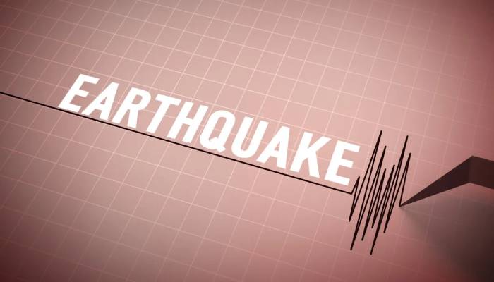
A powerful 6.7 magnitude earthquake occurred off the coast of New Zealand’s South Island on Tuesday, March 25.
More than 4,700 people reported experiencing the earthquake.
As per local media, the quake caused items to fall from shelves and buildings to sway due to the shaking.
As per Geonet, the government’s seismic monitoring agency, the earthquake occurred at a depth of 33 km (21 miles) and was centered about 160 km northwest of Snares Islands which are the northernmost of New Zealand’s sub-Antarctic islands.
The United States Geological Survey (USGS) initially recorded the quake as a magnitude 7 but later revised it to a lower magnitude.
Related: Putin gifts Trump 'mysterious' portrait as Colorado painting sparks controversy
It also reported a shallower depth of about 10 km (6 miles).
Australia’s national weather bureau confirmed that the earthquake did not pose a tsunami threat to the Australian mainland, its islands or territories.
The National Emergency Management Agency has adviced people in the Southland and Fiordland regions to stay away from beaches and marine areas due to the potential danger of strong and unusual ocean currents.
New Zealand is located in geologically active region known as "Ring of Fire."
This is a 40,000-kilometer long arc of volcanoes and deep ocean trenches that surround much of the Pacific Ocean.
This region is highly prone to earthquakes and volcanic eruptions due to intense tectonic activity.
Related: Japan introduces new rules for climbing Mount Fuji amid over tourism